.jpg)
Millstream Meadows- Review of Ecological Site Features
CRD Parks and Environment Services (2015)
The assessment created a baseline for development planning and rezoning activities and as a means to meet the requirements of the Riparian Area Regulation (RAR). The assessment and related report included desktop and field site assessment components including the following:
- Review of mapping databases including but not limited to Data BC, CRD Community Atlas, CDC iMap to identify ecological features that were present on the subject property;
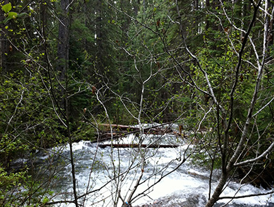
- Site visit to identify ecological site features (e.g., riparian-wetland corridors, streams, isolated wet areas, rocky knolls, forested areas, protected species, roads, etc.);
- Documentation required by the District of Highlands for rezoning and determining setbacks;
- Identification of off-site linkages with adjacent properties;
- Ground-truthed presence/absence of mapped ecological features;
- Provided photographic evidence and scaled figures/drawings of site and off-site notable features of concern for future development;